Scenery Cove: The name sums it up. That’s where we woke up on Tuesday. And it was mostly sunny out!
The view from our cabin.
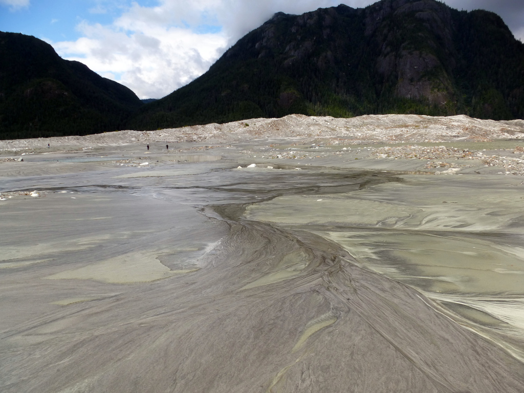
After enjoying the decent weather for a while, we took a skiff to a beach and disembarked onto a strange, rocky landscape. This was Baird Glacier – or where Baird Glacier had once been.
The photo below was taken looking back out to where the skiff had landed. The current was extremely strong and the water was greenish-gray. 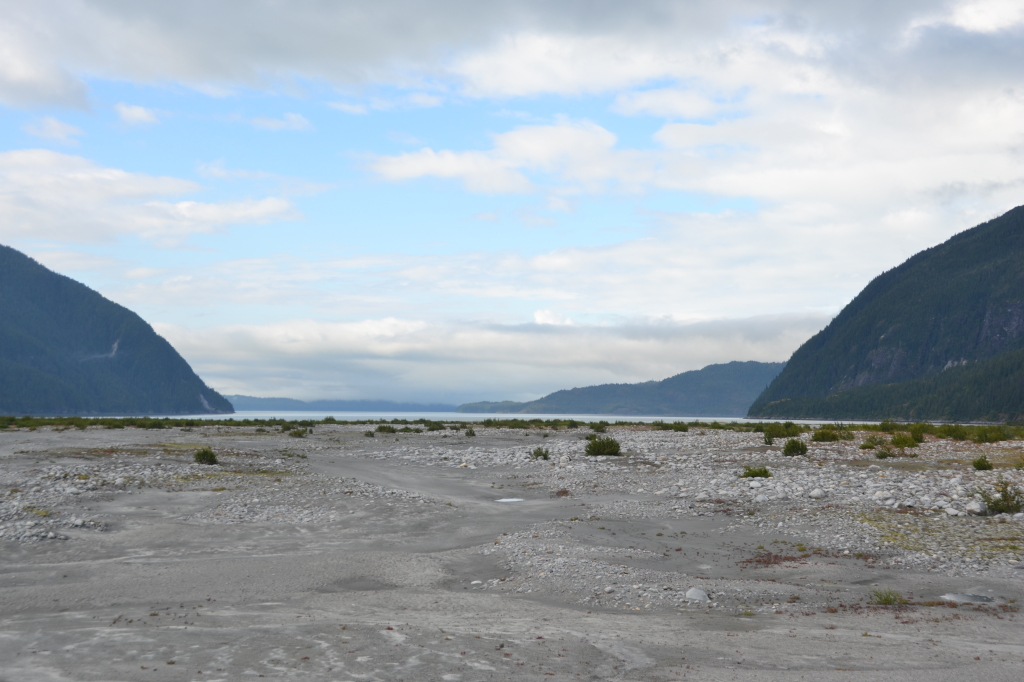
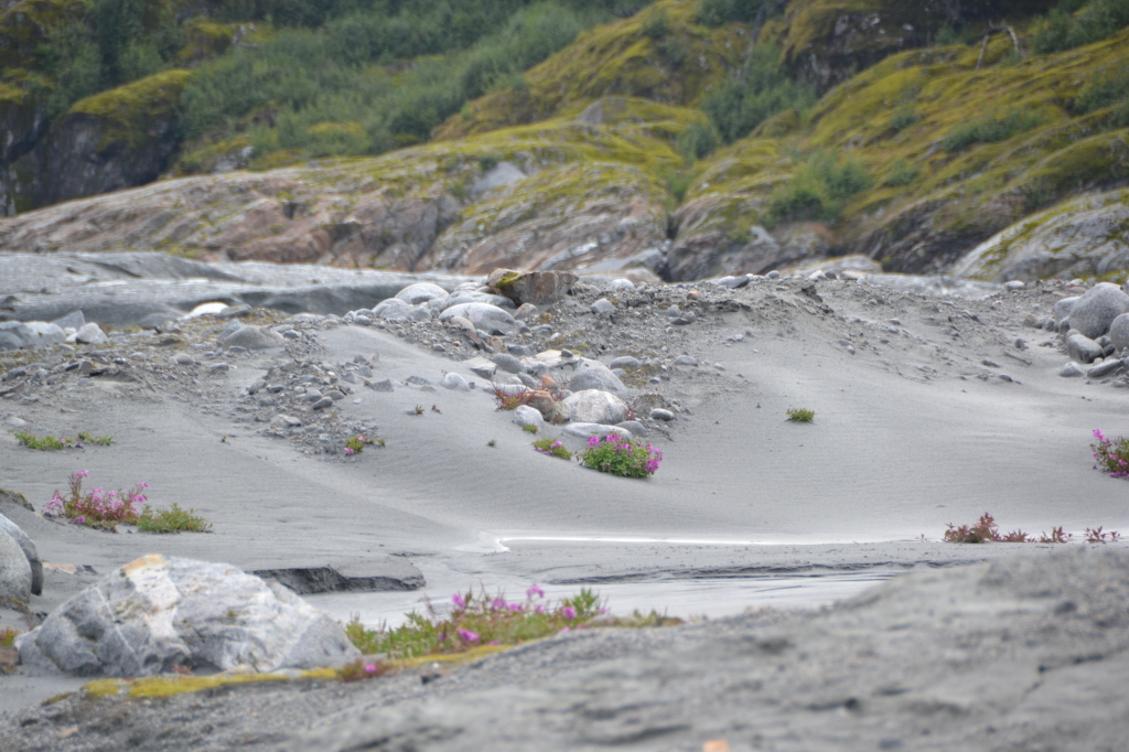
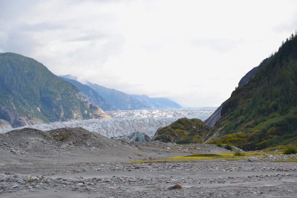
This is what it looks like when a glacier retreats over land. Close to the shore there are small very round rocks.
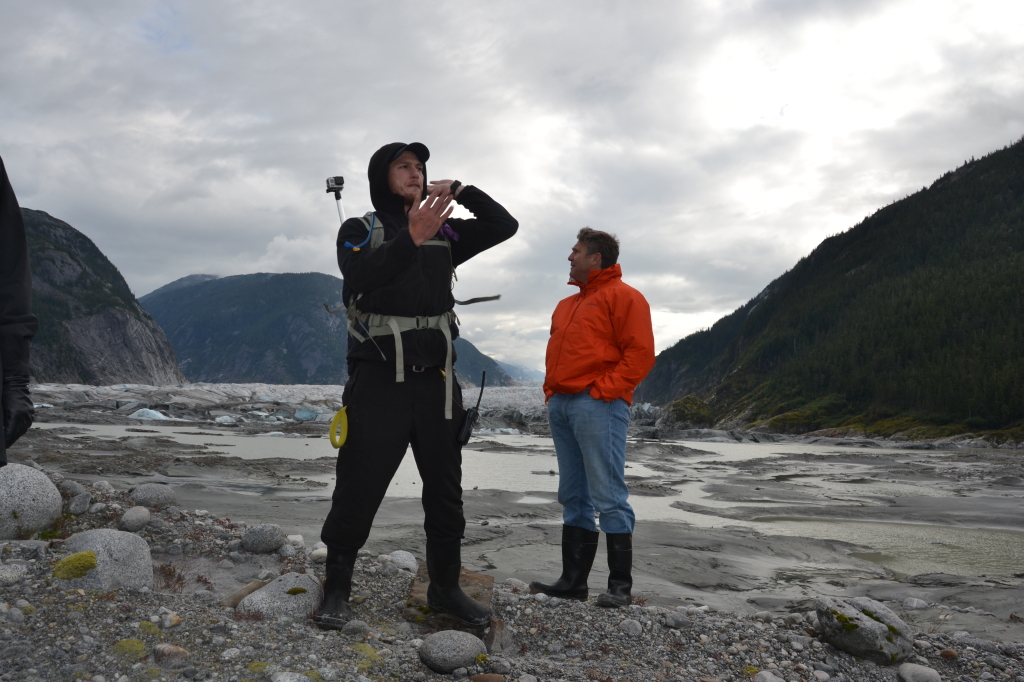
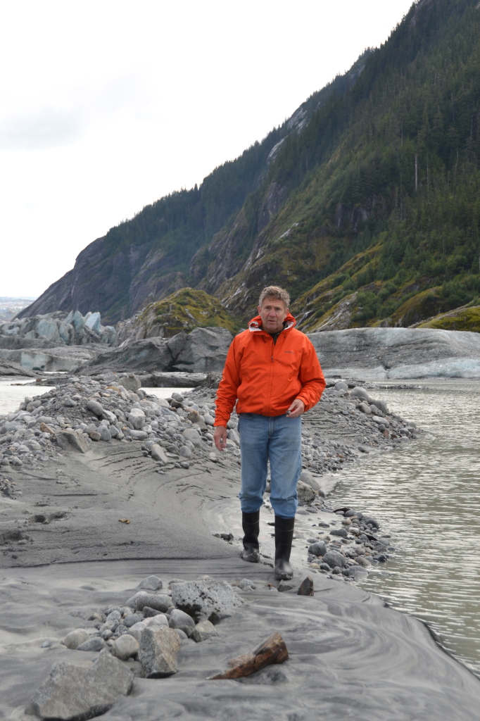
Jack, an Iowa soy farmer, said that he has spent a lifetime clearing this same type of stone from his property. Below, Kent, the guide whose specialty was geology and glaciers, explained the topography.
The rocks come from the glacier grinding its way through the cliffs. The rocks then break down to what they call rock flour – like sand but so fine you can’t feel any grains.
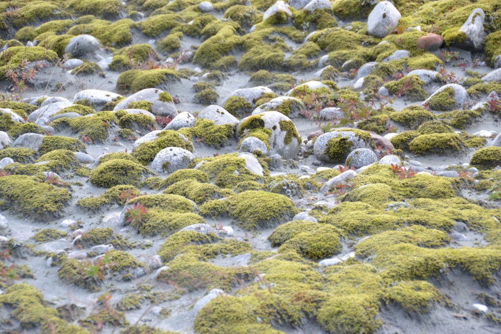
Moss growing over the stones, with rock flour in between.
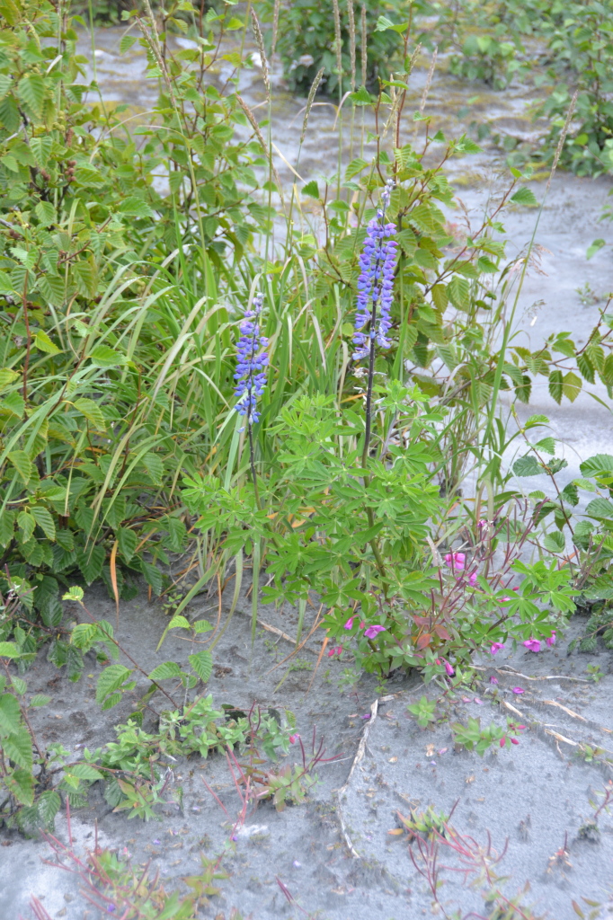
Pioneer plants – like lupine and fireweed — take root in the sandy soil.
The red things below look like berries from a distance but are a type of worm.
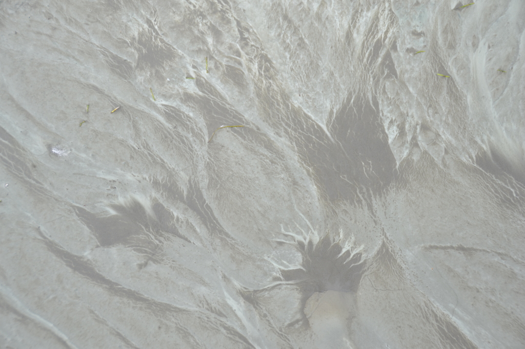
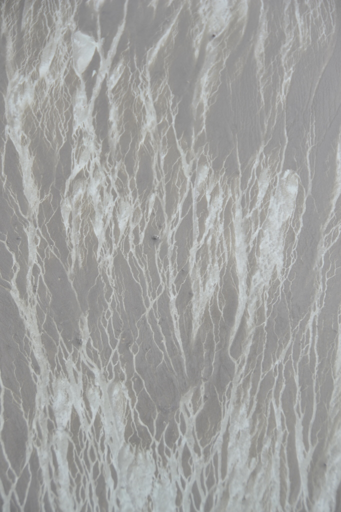
Close to the glacier it’s wet and muddy – but like no other mud that we had seen before. It’s got a smooth grayish-green skin, often marked with white streaks:
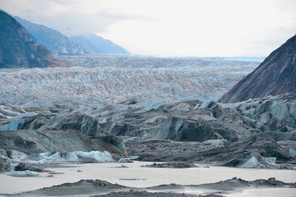
Below is the edge of the glacier, with a little lake in front of it from the melting.
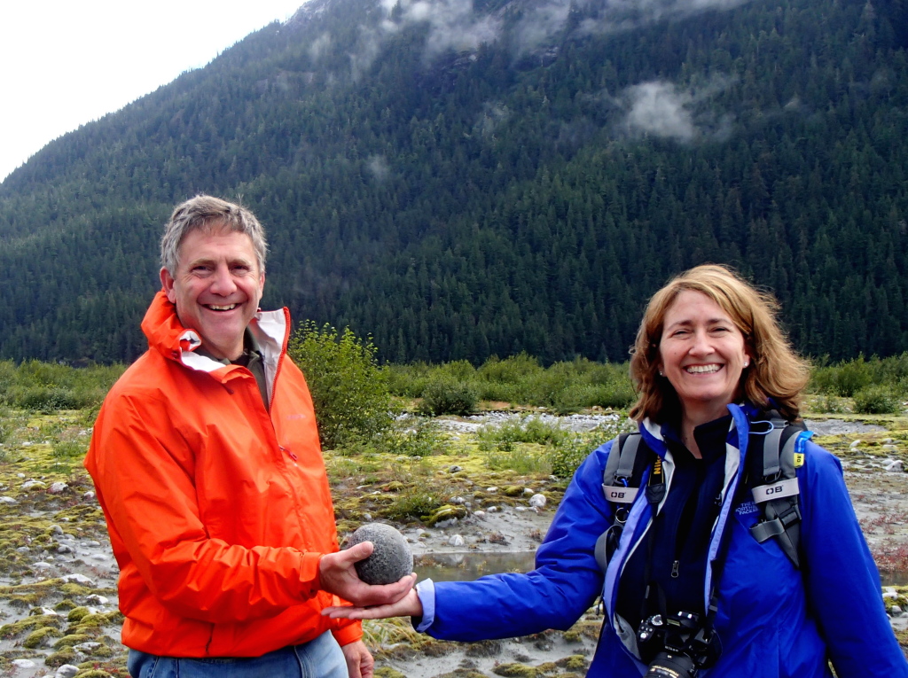
Kent had challenged us to find the roundest stone we possibly could. Naturally, Dave took the challenge seriously. This was his roundest, but it was too big to bring back.
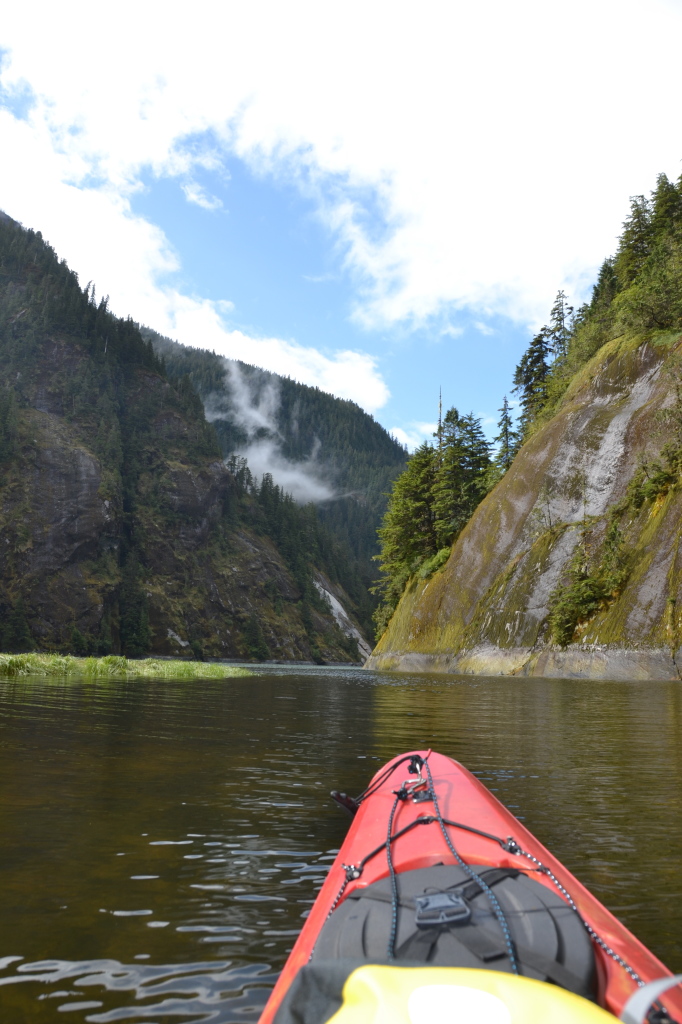
After we got back to the boat we took a kayak out in Scenery Cove.
Here’s a good view of the Wilderness Adventurer:
This is looking up at the cliffs.
We had a little spat when Dave wanted to paddle into some rapids at the mouth of a stream, and I strongly disliked that idea. We must have looked pretty funny attempting to paddle in different directions.
I was fascinated by this sailboat tied to shore at the bow and stern. Where was the owner? We inspected it and there was no one there. How did he or she get it tied up? The bow line was attached to a tree on a cliff that looked utterly inaccessible. It was a mystery.
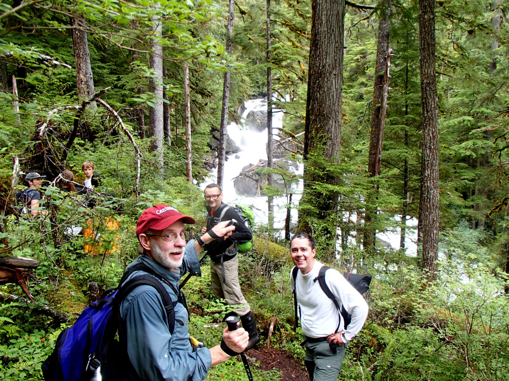
At lunch we moved on, and in the afternoon we went on the Cascade Creek hike. We had been warned that this one was not for the faint of heart. I was a bit anxious, given the fairly recent loss of the ACL in my right knee and the older repair of the ACL in my left knee.
The first part of the trail was well-maintained and consisted largely of planks and stairs.
Alex, our guide, above.
Below, the waterfall near the base of Cascade Creek.
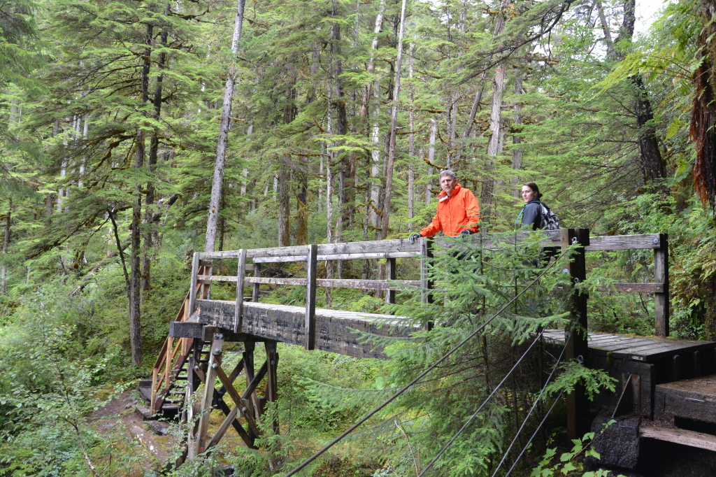
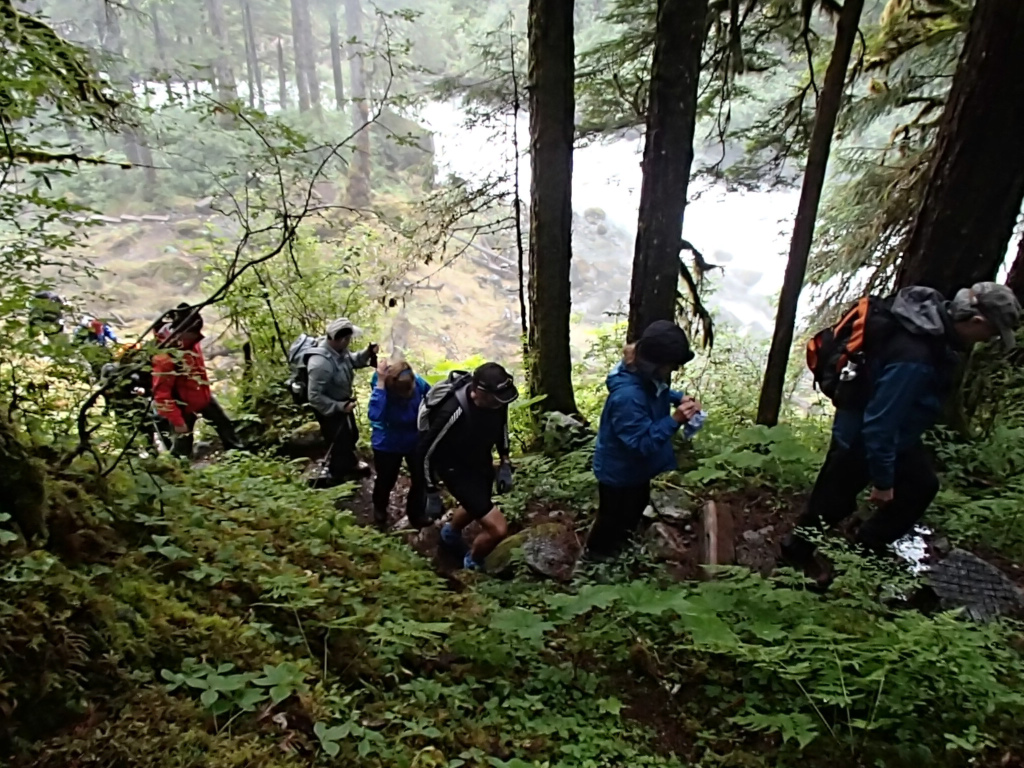
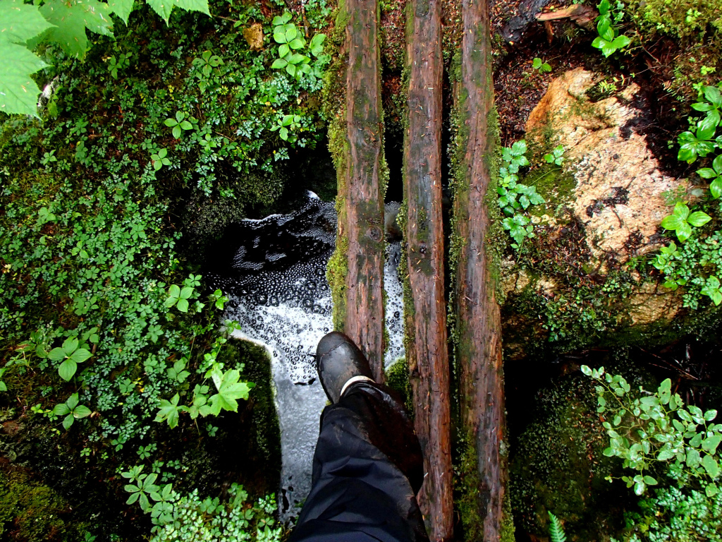
We then crossed a bridge, and after that the trail got more gnarly. I have virtually no photos of this hike, because I had to put my camera away in the backpack and concentrate fully on not falling. The trail was steep and muddy and criss-crossed with tree roots. I had visions of twisting an ankle and having to be airlifted out of there.
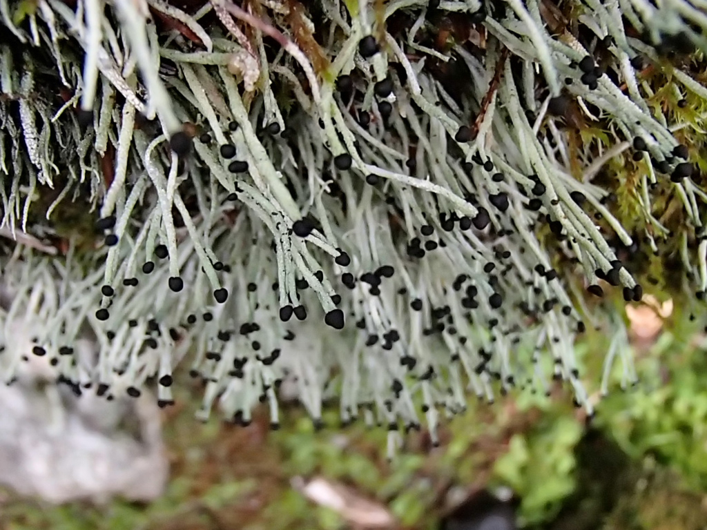
Fortunately Alex was stable enough on her feet to be taking photos of the flora. These were my favorite little plants, but I forget the name. Matchstick somethings.
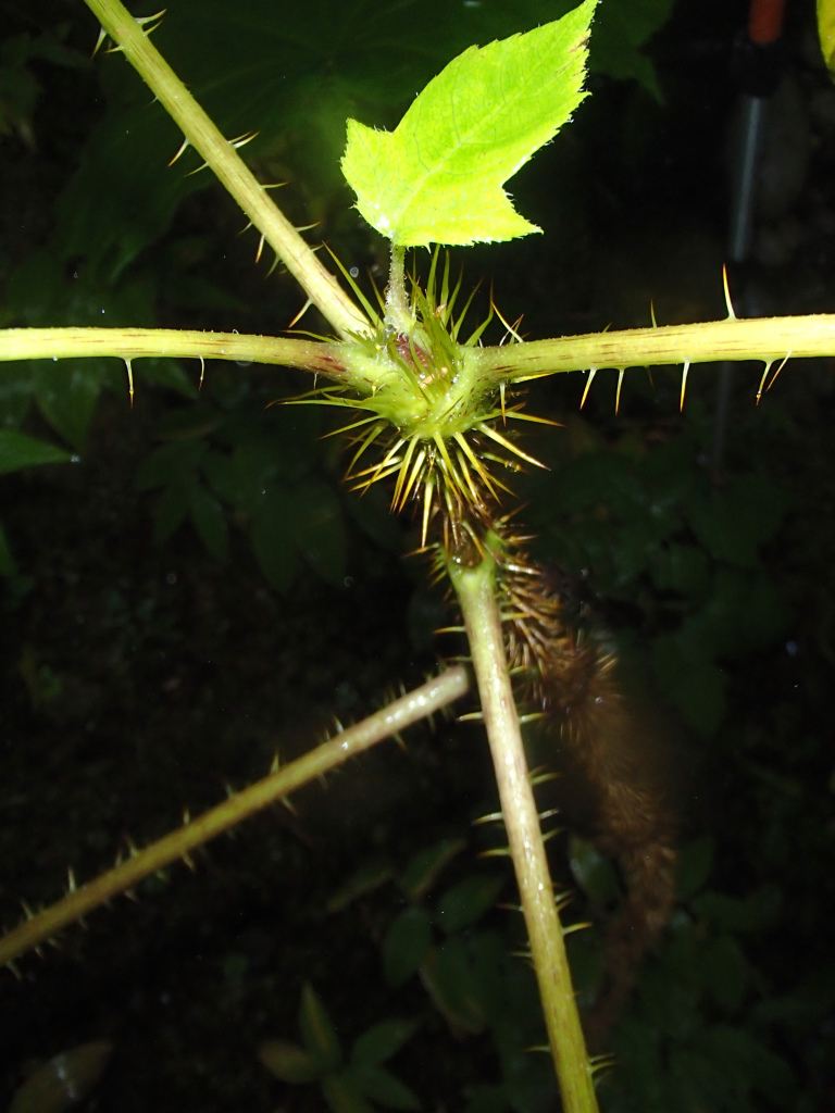
It often was necessary to grab onto tree branches and the like for balance and to haul oneself up. We had been warned against touching Devil’s Club, the ubiquitous green leafy plant, but at one point I had no choice but to grab something, and that something was a stalk of Devil’s Club. This mistake would come back to haunt me.
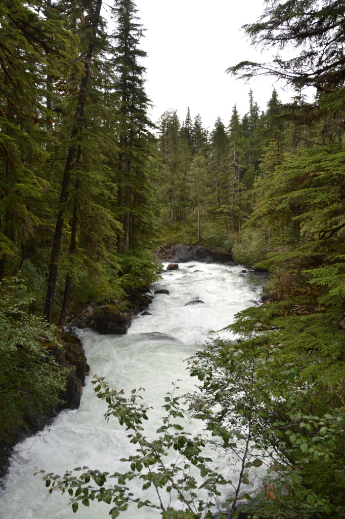
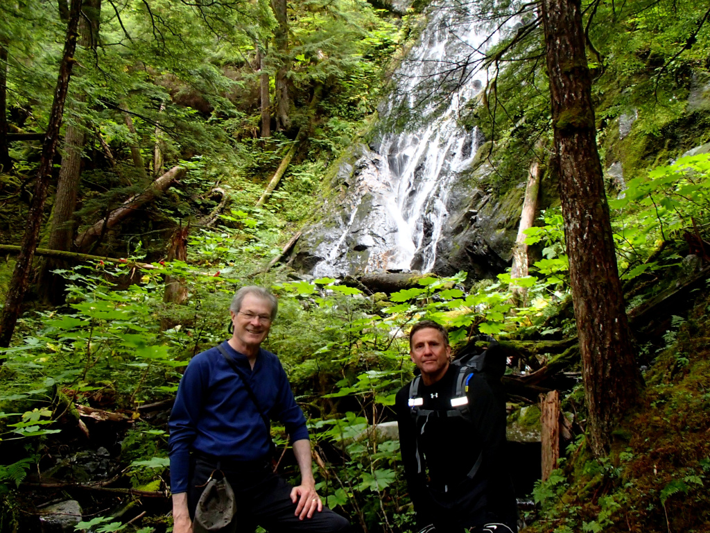
We hiked along Cascade Creek for maybe an hour and a half, up to the point of another small waterfall. It’s possible to hike beyond that, but Alex said that the trail gets incredibly difficult further on. In fact, that was the furthest she had ever been. Apparently there is a lake at the top, but getting there is a real expedition.
So we turned around and hiked back, which if anything was more difficult. One of the unnerving parts was having to balance across narrow and uneven planks that had been put over streams and maneuver down steep stairs.
I was pretty proud of myself for doing this hike without incident. My more recently injured knee held up really well, probably because I had borrowed a sleeve support for it from Sherry. The knee that was fixed nine years ago fared less well and was pretty sore the next day. In fact, going downstairs was challenging for several days (and the ship had lots of stairs).
Tuesday, in the late afternoon, we saw civilization for the first time since we had left Juneau Saturday night. As we approached Petersburg, suddenly all our cell phones got service again. What a treat that was: Within moments Grace had called to report that (a) the dog needed immediate surgery on her eye and on her butt; and (b) she (Grace, not the dog) had dropped her phone in the water while kayaking. My brother texted to say that our father had picked up some kind of skin disease and was in quarantine at the assisted living facility. I couldn’t even look at the 600 emails that had come in. I thoroughly regretted turning any of my devices on.
We didn’t stop at Petersburg but cruised on by as the sun was setting behind us.
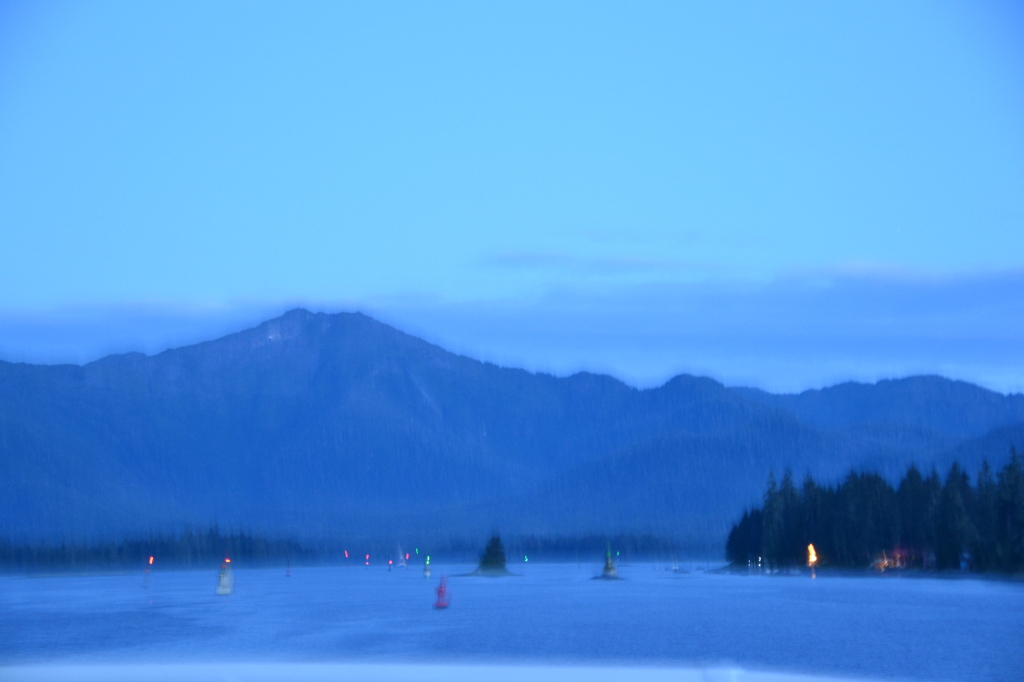
Next we entered the Wrangell Narrows, a shallow channel. Most of the time the ship’s bridge was open for passengers to come pay a visit to the captain, but this was one of the few times that the sign said, “Bridge Closed.” Ron said that total concentration was needed for this part of the journey. As dusk fell we could see why the channel was called “Christmas Tree Alley.” There are almost 100 red and green channel markers threading through the channel. I didn’t have a tripod, which you really need for nighttime shots, so my photos were not successful.
